Geomangsan
Overview
- Location : Anui-myeon, Hamyang-gun, Gyeongsansnam-do
- Altitude: Geomangsan-1,184m
Description
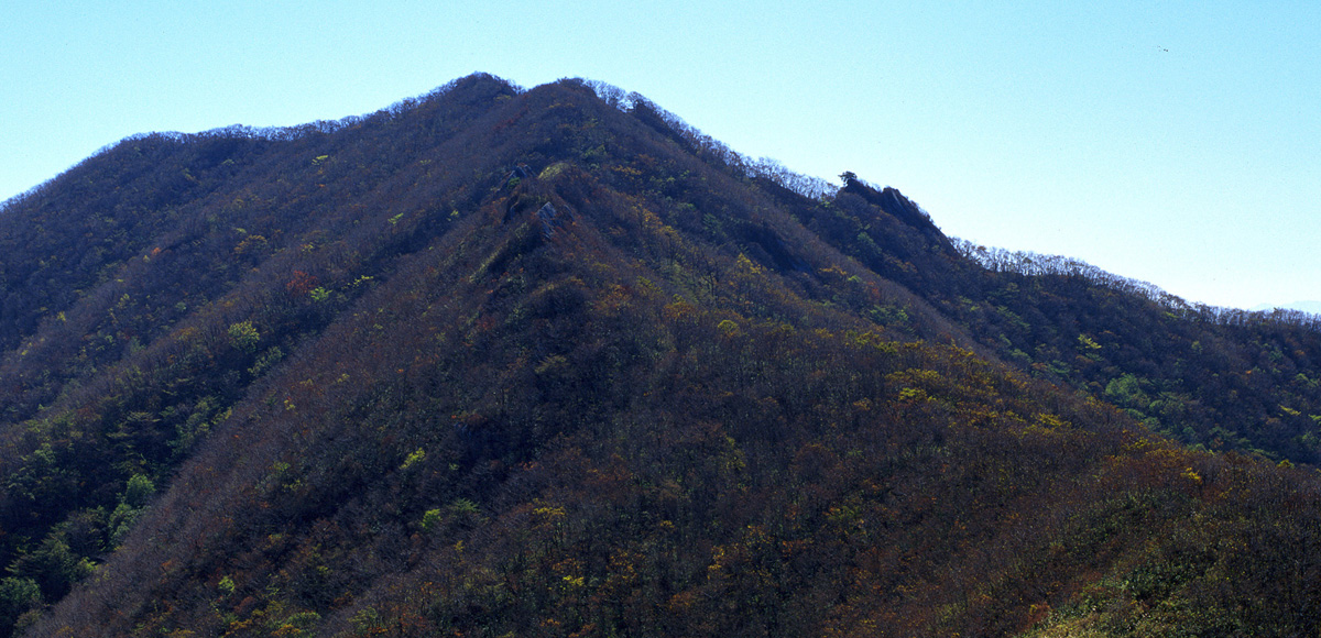
The Baekdudaegan Mountains stretch southward from Deogyusan Mountain region into two lines; Jirisan Mountain (line 1) and Hwangseoksan Mountain via Wolbongsan Mountain and Geomangsan Mountain (line 2). Geomangsan Mountain is the youngest mountain among eleven of the highest mountain peaks (over 1,000m above the sea level) in the county. An open reed field was made along the ridge going towards Hwangseoksan Mountain. This makes the trip more fascinating with a grand view of both Deogyusan and Jirisan Mountain.
Climbing Course
Of all the way to Geomangsan Mountain, it is the most representative way to climb the north ridgeline at Iljumun of Yongchusa to the peak of Geomangsan Mountain. The best way to go down is to go to Geumwonsan Mountain and climb down Yongchugyegok (Valley) through Sumakryung, but the distance to Geumwonsan Mountain is three kilometers and there is another way to climb down passing Geumwonsan Mountain through Yongchugyegok (Valley), but it's also a detour course so if you don't have enough time just select the several downhill courses of left and right side of the ridge.
- 1Course 1
Yongchusa (Temple) – Jijanggol Valley – Geomangsan (Mt.) (2 hours) - 2Course 2
Jangjabeol – Buldanggol Village – Ridge Line – Geomangsan (Mt.) (2 and half hours) - 3Course 3
Ujeon Village (Seoha-myeon) – West Gate of Hwangseoksanseong (Fortress) – Hwangseoksan (Mt.) – Geomangsan (Mt.) – Yongchusa Iljumun Gate (6 hours)
Nearby Tourist Attractions
Yongchusa (Temple), Yongchu Waterfall, Nongwoljeong (Pavilion), Suseongdae Valley (Geochang)