Gibaeksan
Overview
- Address: Wicheon-myeon, Geochang-gun & Anui-myeon, Hamyang-gun, Gyeongsangnam-do, Republic of Korea
- Altitude: 1,331m at its peak
Hiking Tips
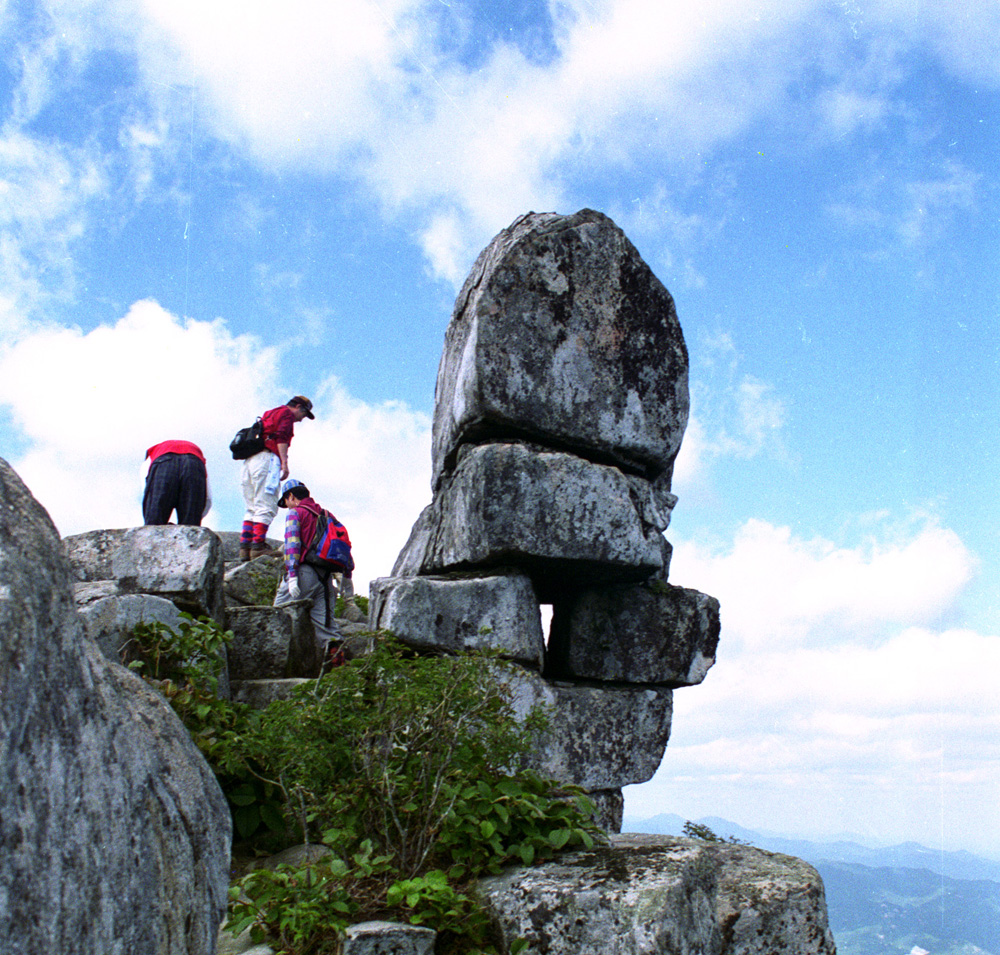
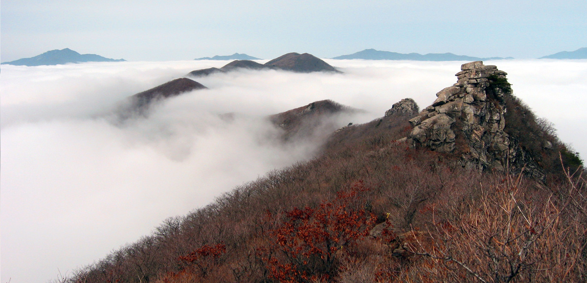
The most popular hiking trail up to the peak of Gibaeksan follows the northern ridge from Iljumun (First Gate) of Yongchusa Temple in Anui-myeon. For the descent, it’s best to go to Geumwonsan Mountain, pass through Sumangnyeong and descend to Yongchu Valley. However, the distance to Geumwonsan is more than 3 kilometers, and the route passing through Geumwonsan and descending to Yuancheong Valley is quite a long one. If you don’t have much time, you can choose from several descent routes on both sides of the ridge.
Climbing Course
Of all the way to Gibaeksan Mountain, it is the most representative way to climb the north ridgeline at Iljumun of Yongchusa to the peak of Gibaeksan Mountain. The best way to go down is to go to Geumwonsan Mountain and climb down Yongchugyegok (Valley) through Sumakryung, but the distance to Geumwonsan Mountain is three kilometers and there is another way to climb down passing Geumwonsan Mountain through Yongchugyegok (Valley), but it's also a detour course so if you don't have enough time just select the several downhill courses of left and right side of the ridge.
- 1Course 1 (about three hours)
Yongchusa Iljumun - Steep Road-peak (4.2km) - 2Course 2 (2 and 1/2 hours)
Wootsapyung Village - Steep Road-peak (4.4km) - 3Course 3 (about 6 hours)
Yongchusa (Temple)- Gibaeksan (Mt.) - Geumwonsan (Mt.)(Jongju) - Sumakryeong - Recreation Forest - Yongchusa Iljumun
Nearby Tourist Attractions
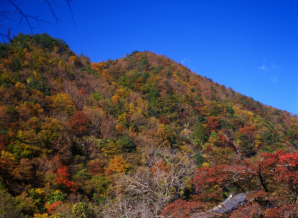
Yongchusa (Temple), Yongchu Waterfall, Nongwoljeong (Pavilion), Suseungdae Park (Geochang)
Gibaeksan